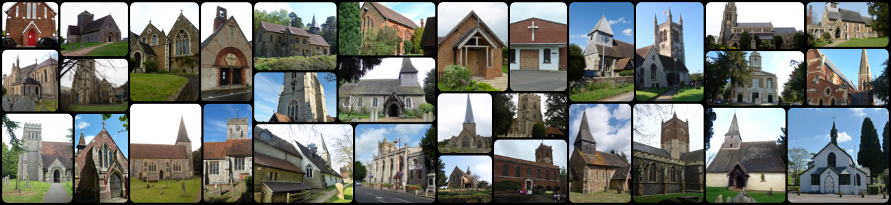
Find a church or graveyard

collage of Surrey Churches

First visit to the Churches of Surrey Index ? We suggest you have a quick look through the Frequently Asked Questions before you start.

If you prefer you can browse through the churches and graveyards listed by their modern administrative area. There is a “glitch” in the links to the More Information pages. Until I manage to fix it I suggest that you copy the URL and paste it into a new page on your browser. My apolgies for the inconvenience. Not all entries have “More Information” links, (yet).

Denomination
Church of England
Local Authority
Postcode or Map reference
SE15 6SS
Denomination
Church of England
Local Authority
Postcode or Map reference
SE15 2UN
Denomination
Church of England
Local Authority
Postcode or Map reference
SE15 6DT
Notes
also know as Camberwell St. Luke
Web page
http://www.surreygraveyards.org.uk/southwark/camberwellluke.shtml
Denomination
Church of England
Local Authority
Postcode or Map reference
SE15 2PX
Notes
now demolished
Denomination
Church of England
Local Authority
Postcode or Map reference
SE15 2UN
Denomination
Church of England
Local Authority
Postcode or Map reference
SE15 3RU
Denomination
Church of England
Local Authority
Postcode or Map reference
SE15 4AN
Notes
now Copleston Centre LEP
Denomination
Methodist
Local Authority
Postcode or Map reference
SE15
Denomination
Methodist
Local Authority
Postcode or Map reference
SE15 6LA
Denomination
Pentacostal
Local Authority
Postcode or Map reference
SE15 6LA
Denomination
Baptist
Local Authority
Postcode or Map reference
SE15 1..
Denomination
Baptist
Local Authority
Notes
closed ca. 1908
Denomination
Baptist
Local Authority
Denomination
Unitarian
Local Authority
Postcode or Map reference
SE15
Denomination
Methodist
Local Authority
Postcode or Map reference
SE15 3DX
Denomination
Methodist
Local Authority
Postcode or Map reference
SE15 2PX
Denomination
Congregational
Local Authority
Postcode or Map reference
TQ 34018 76660
51.4730, -0.0718
Denomination
Baptist
Local Authority
Postcode or Map reference
TQ34948 75551
51.4629, -0.0588
Denomination
Congregational
Local Authority
Postcode or Map reference
SE15